
Understanding Your Precinct
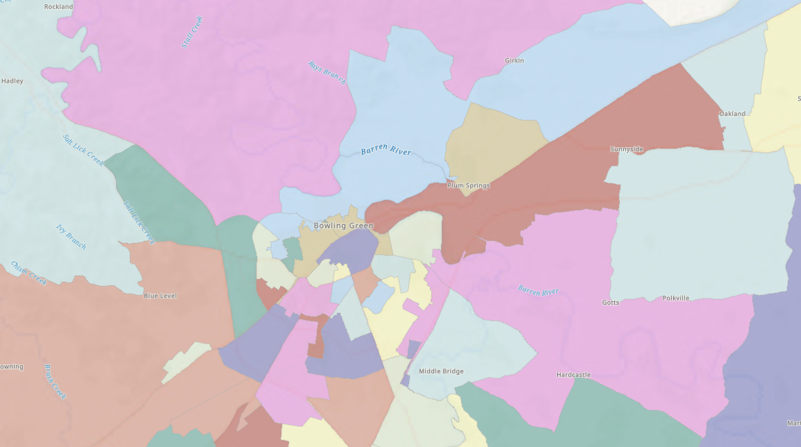
Precinct Boundaries Map
Interactive District Maps
View map layers for Magisterial Districts, Kentucky House Districts, Kentucky Senate Districts, and City Limits using the City-County Planning Commission’s interactive GIS mapping system. The map also includes many additional layers, such as voting precincts, parcels, zoning, addresses, and other geographic information.
School Board Districts Map
Find Your School Board Voting District
Open the City-County Planning Commission’s interactive GIS map, enter your address, and enable the School Board Voting Districts map layer to view the school board district in which you reside.
Why your precinct matters
A precinct is a geographic area established for election administration. Every registered voter is assigned to a precinct based on their residential address.
Warren County currently has 53 precincts.
Warren County voters are represented by:
- 2nd Congressional District
- 2nd Supreme Court District
- 8th Judicial District
- 6 Magisterial Districts
- 5 Cities
- 5 County School Districts and 1 City School District
- 3 State Senate Districts
- 4 State Representative Districts
View a current list of precincts here.
Your precinct determines:
- Which candidates appear on your ballot.
- Which local races you are eligible to vote in.
- Which districts and taxing jurisdictions apply to you.
- The ballot style (also called the ballot face) you will receive.
Your assigned precinct does not determine where you vote, because Warren County uses countywide vote centers.
You may vote at any Vote Center in Warren County during early voting or Election Day.
Election officers will verify your registration and issue the correct ballot based on your assigned precinct.
Even neighbors on the same street may:
- Live in different precincts.
- Be in different city limits.
- Attend different school board districts.
- Have different legislative or judicial districts.
As a result, they may receive different ballot faces.
Use the Kentucky Voter Information Center to:
- Verify your voter registration.
- View your assigned precinct.
- View the districts in your precinct.
- Confirm your sample ballot (when available).
No. Your ballot is automatically assigned based on your residential address.